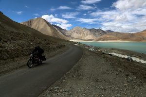
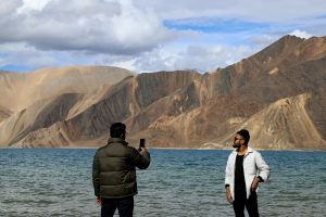
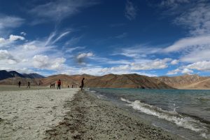
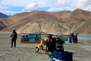
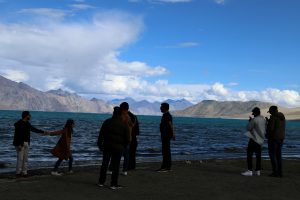
Pangong Tso, more commonly known as Pangong Lake, is an endorheic lake, meaning it does not flow into the sea. Situated at an elevation of about 4,270 meters, it is nearly 135 kilometers long. Its total area is over 600 sq km. Perhaps most famously, the Line of Actual Control (LAC) between China and India, running north-south, cuts through the western part of the lake, aligned east-west. Traditionally India has had a stronger presence in the southern bank compared to the north bank because of its proximity to areas like Chushul and Rezang La.
India and China have unsettled borders, and the perception of the LAC differs in multiple sectors, including on Pangong Tso. The situation became even more complex last year when the two countries came to blows on the southern bank of the Pangong Tso Lake in eastern Ladakh.
In April and May of 2020 China assembled a large number of troops in eastern Ladakh and other areas along the 3,488-kilometer-long LAC, triggering skirmishes at Galwan Valley, Pangong Lake, Gogra-Hot Springs, and other areas. The status quo was changed after the People’s Liberation Army (PLA) built fortified structures in what was perceived by India as its territory.
The lake shares a connection with numerous important geographical sites. The Karakoram Mountain range, which crosses Tajikistan, Afghanistan, Pakistan, China, and India, reaches heights of over 6,000 meters and includes K2, the world’s second highest peak. The range ends at the north bank of Pangong Tso. The temperature at Pangong varies from minus-25 degrees Celsius in winter to 10 C in summer and during winter the lake freezes completely, despite being a saltwater lake.
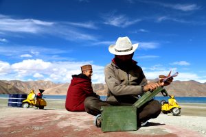
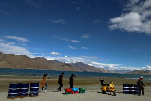
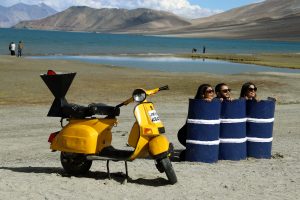
The tourist visiting season for Pangong Lake starts in April and runs until October. An Inner Line Permit is required to visit the lake. While Indian nationals can obtain individual permits, others must have group permits (with a minimum of three people) accompanied by an accredited guide; the tourist office in Leh issues the permits for a small fee. For security reasons, India does not permit boating on the lake.


